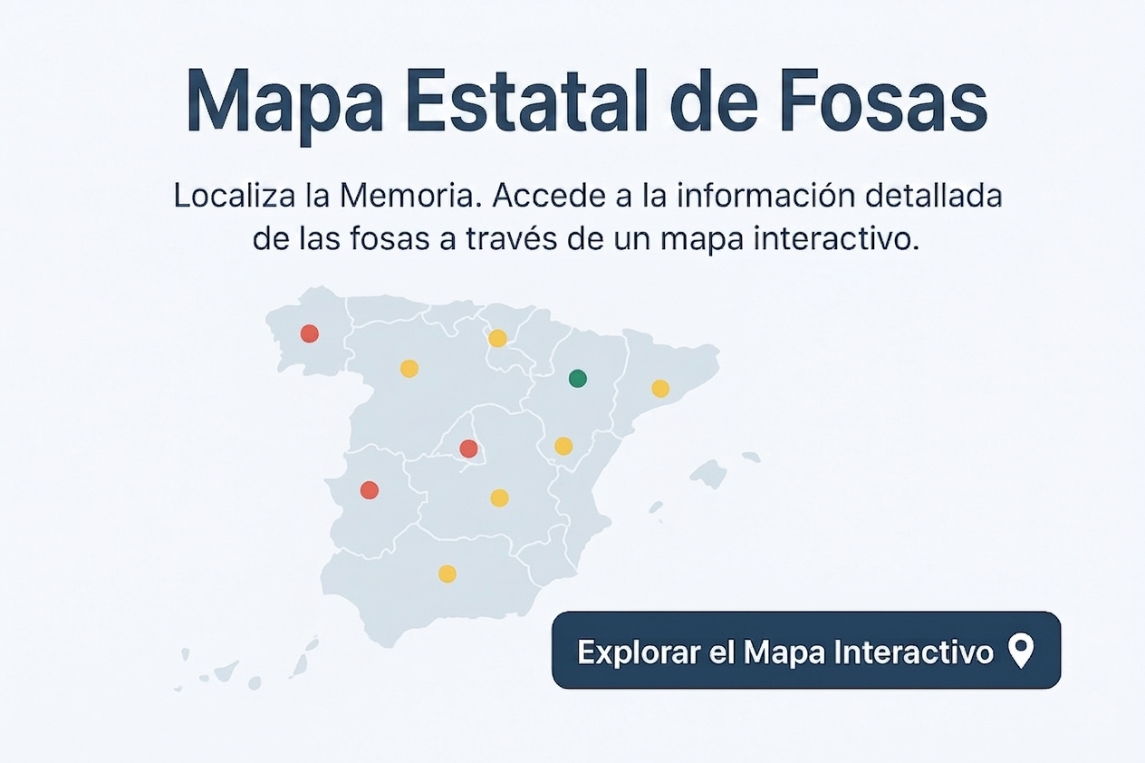
In accordance with the provisions of article 17 of the Law 20/2022, of 19 October, on Democratic Memorythe General Administration of the State shall draw up an integrated map of the location of missing persons covering the entire Spanish territory, to which the data submitted by the various competent public administrations shall be incorporated.
The cartographic and geographical documentation will be updated periodically and will be public. The areas included in the maps of location of remains will be subject to special preservation in the terms established by regulations and in accordance with the applicable regulations. All georeferencing, cartography or geolocation carried out under this law will be carried out in the official geodetic system of rerence in Spain.
The first version of the virtual pit map was presented in May 2011 by the Ministry of Justice with data from the different Autonomous Communities, as well as Associations, Foundations or Entities dedicated to historical memory recovery activities.
Since 2021, the Ministry of the Presidency has been promoting the updating of the map with the collaboration of several Autonomous Communities. In a first pilot phase, the Communities of Aragon, the Principality of Asturias and the Canary Islands have been included. Throughout the year 2022, the Communities of Castilla - La Mancha, Castilla y León, Euskadi, Extremadura, Balearic Islands and Navarre have joined the previous group.
Therefore, it is currently possible for the map to offer partial and/or provisional results. In the event of any incident, we invite interested persons to contact this email oficina.victimas@correo.gob.es.
As a complement to this integrated map of the location of missing persons, we share one map guide by Autonomous Community, which provides access to maps of graves prepared and/or promoted by the autonomous governments of the Autonomous Communities.